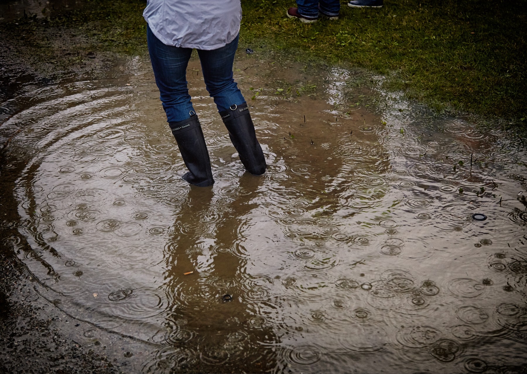
The latest information provided by the International Lake Ontario - St. Lawrence River Board (ILOSLRB) indicates that Lake Ontario water levels will continue to rise this coming week. It is due to the current flooding conditions within the lower St. Lawrence River combined with additional widespread forecasted rainfall.
The latest daily mean Lake Ontario water levels of 75.52 m (IGLD 1985 Datum) is about 50 cm above the historical average. However, it's below the 2017 levels.
Forecasts show current lake water levels could rise an extra 10 cm during the coming week. Even with the potential of more rain, water levels are still not expected to reach those that we experienced in 2017. Long-term Lake Ontario levels are expected to stay significantly above the seasonal averages throughout the rest of May and into June.
Wave Action
Sustained winds of 20 km/hr from the east can result in 1 to 2 metre waves. If winds increase so do the waves. It also increases water levels in Oakville Harbour and Bronte Harbour by an additional 3 to 5 inches.
In light of the elevated lake levels and strong winds, Conservation Halton warns all residents and children to exercise caution around Lake Ontario's shoreline. Elevated water levels combined with the potential for waves to overtop break-walls and other shoreline structures make these locations extremely dangerous.
Please alert children in your care of these very real dangers.
This Flood Outlook - Lake Ontario Shoreline message remains in effect until May 22nd.
Conservation Halton will continue to watch Lake Ontario wind conditions and lake levels closely and will either end this message or issue further updates as necessary.
Additional information is available online through the ILOSLRB website and on Facebook:
Current Conditions: https://ijc.org/en/loslrb/watershed/current-conditions
Forecasts: https://ijc.org/en/loslrb/watershed/forecasts
Flood Terminology
- Normal:
- Conditions are within normal limits. No flooding is expected.
- Watershed Conditions Statement:
- A general notice of weather conditions that could pose a risk to personal safety or which have the potential to lead to flooding.
- 1. Flood Outlook: Early notice of the potential for flooding based on weather forecasts calling for heavy rain, snow melt, high wind, or other conditions that could lead to high runoff and cause ice jams, lakeshore flooding, or erosion.
- 2. Flood Watch: Flooding is possible in specific watercourses or municipalities. Municipalities, emergency services, and individual landowners in flood-prone areas should prepare;
- 3. Flood Warning: Flooding is imminent or already occurring in specific watercourses or municipalities. Municipalities and individuals should take action to deal with flood conditions. This may include road closures and evacuations.